
Reduce guesswork
No more "eyeballing" fence lines. Precise markers for every boundary.
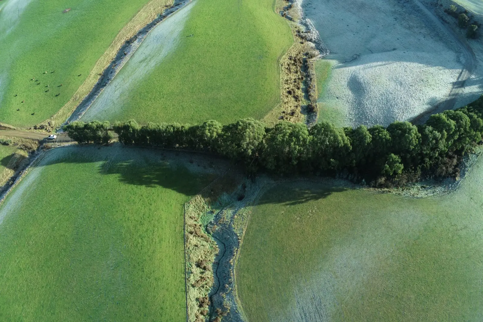
Drone mapping + ground stake-out
Southland Farm Mapping turns drone survey data into practical plans, then marks the approved lines on-site for fencers, drainage crews, and earthworks contractors.
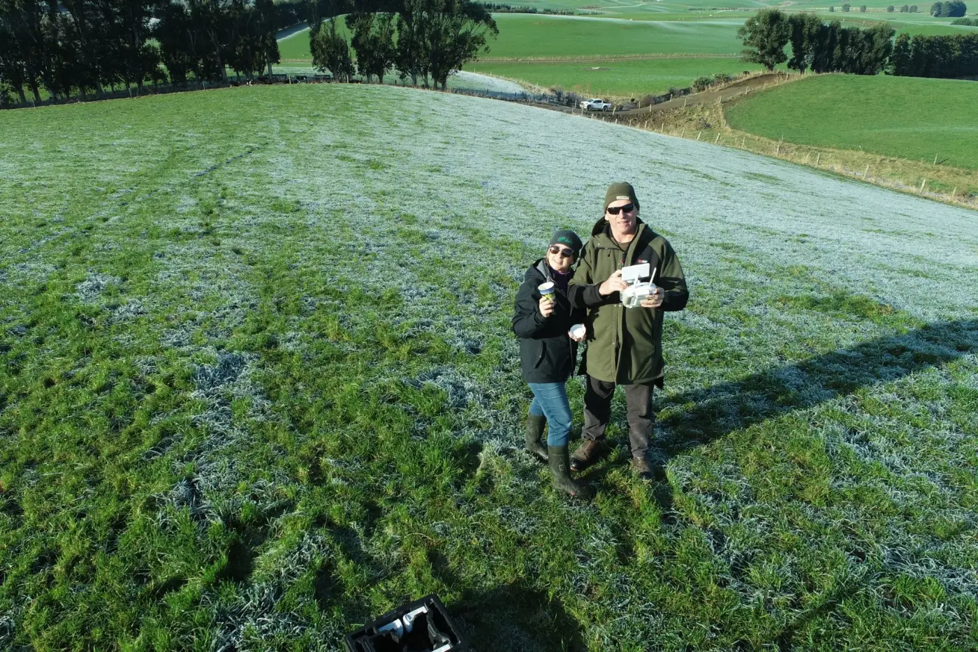
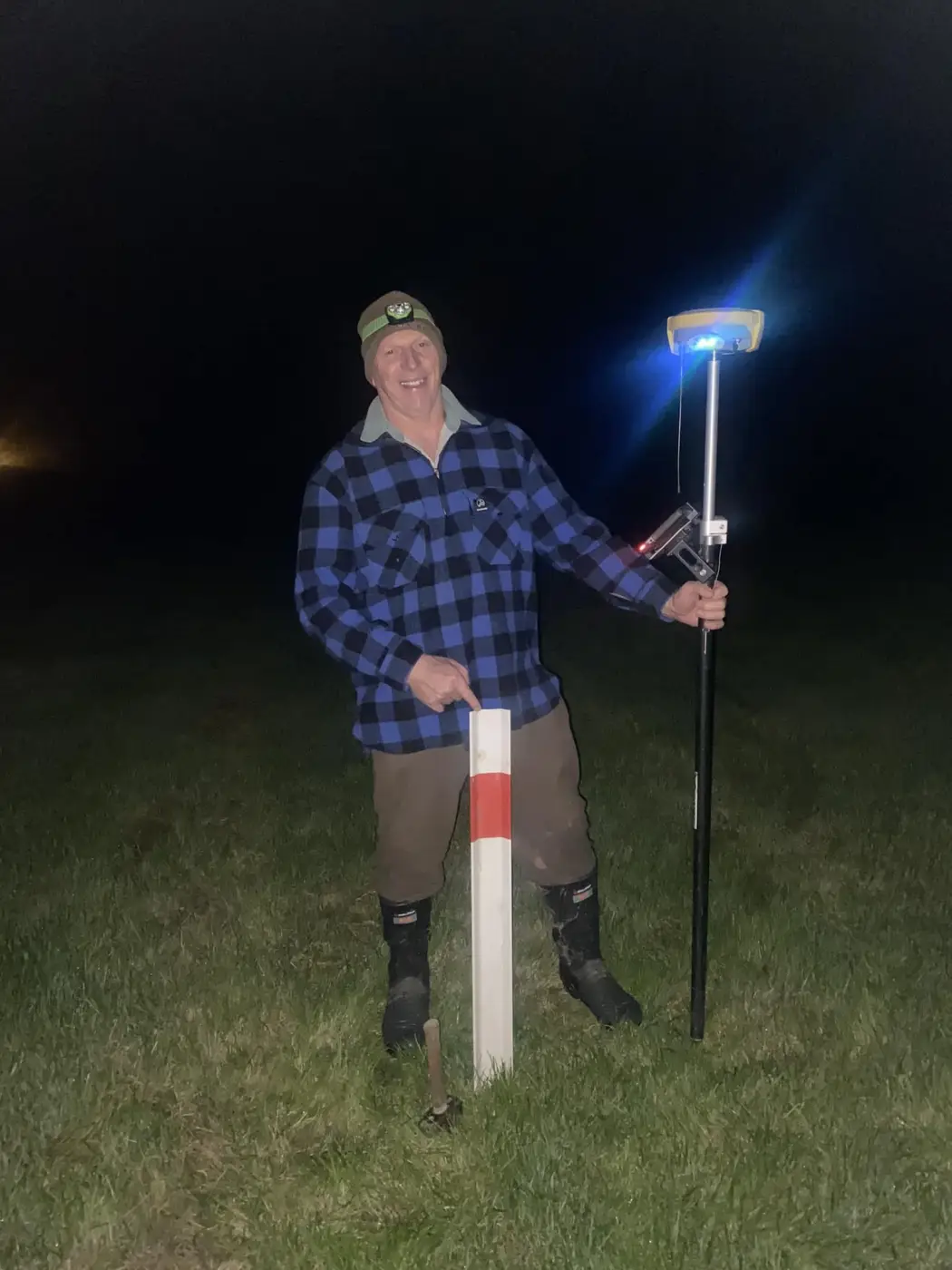
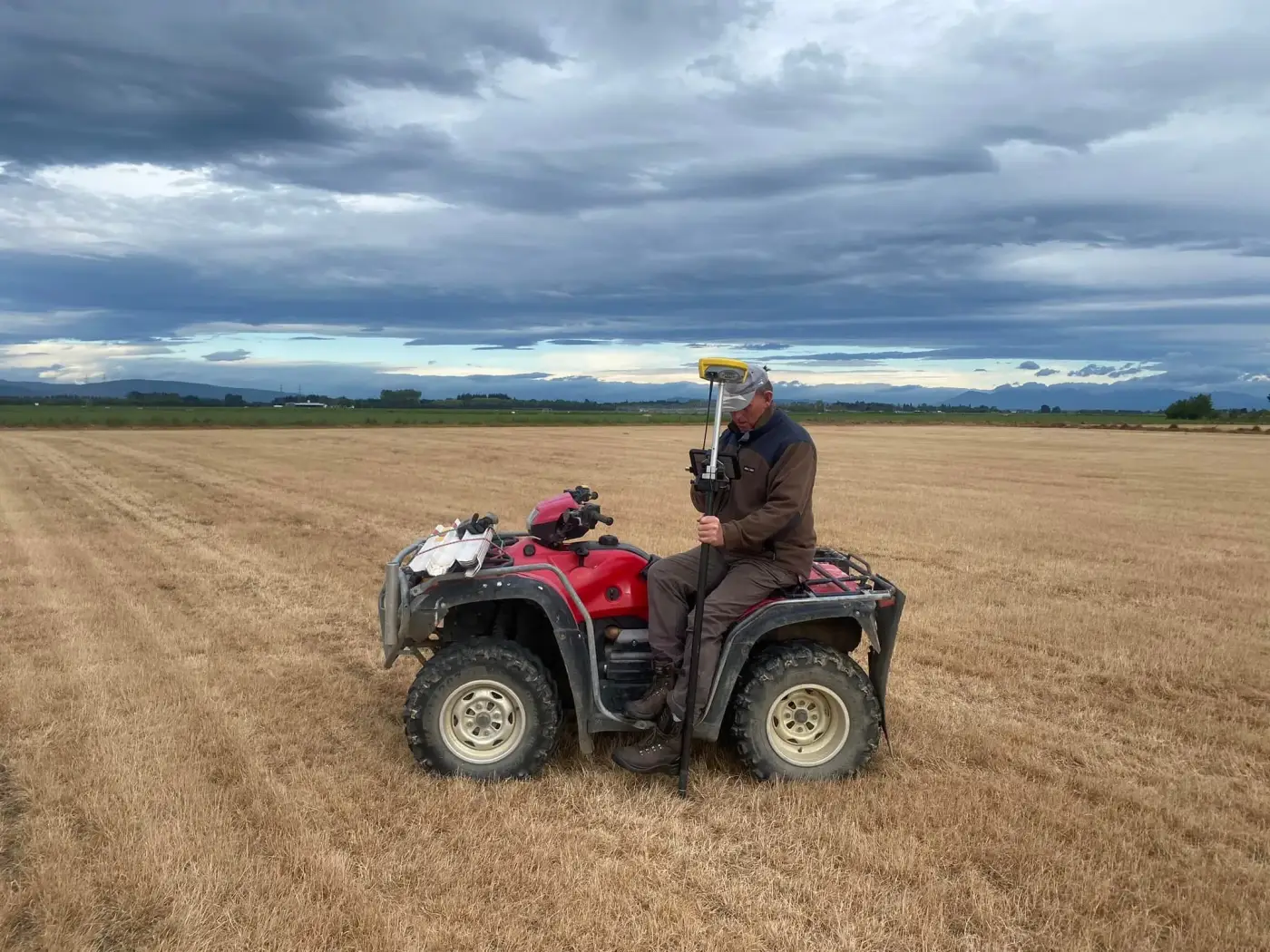
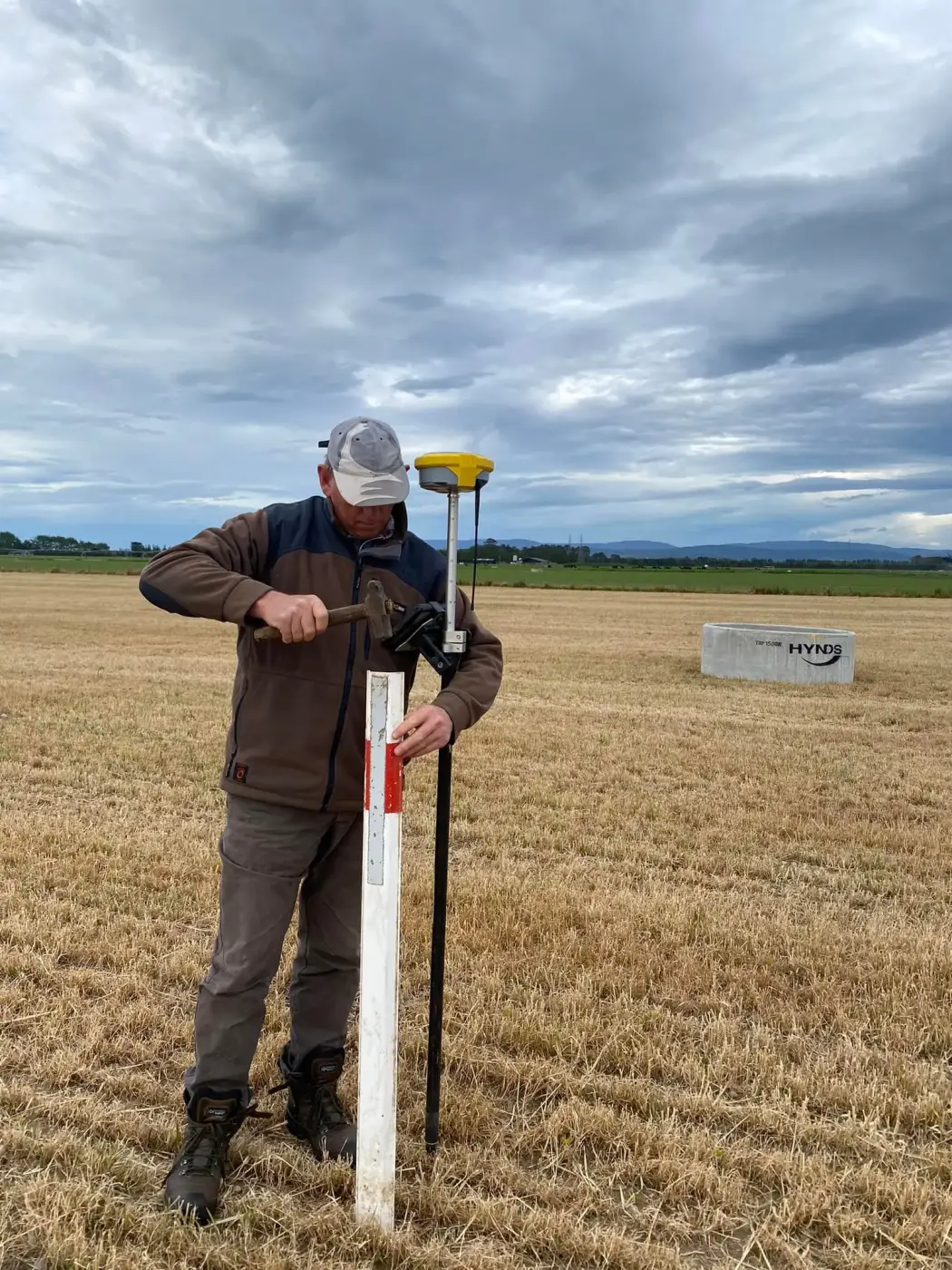
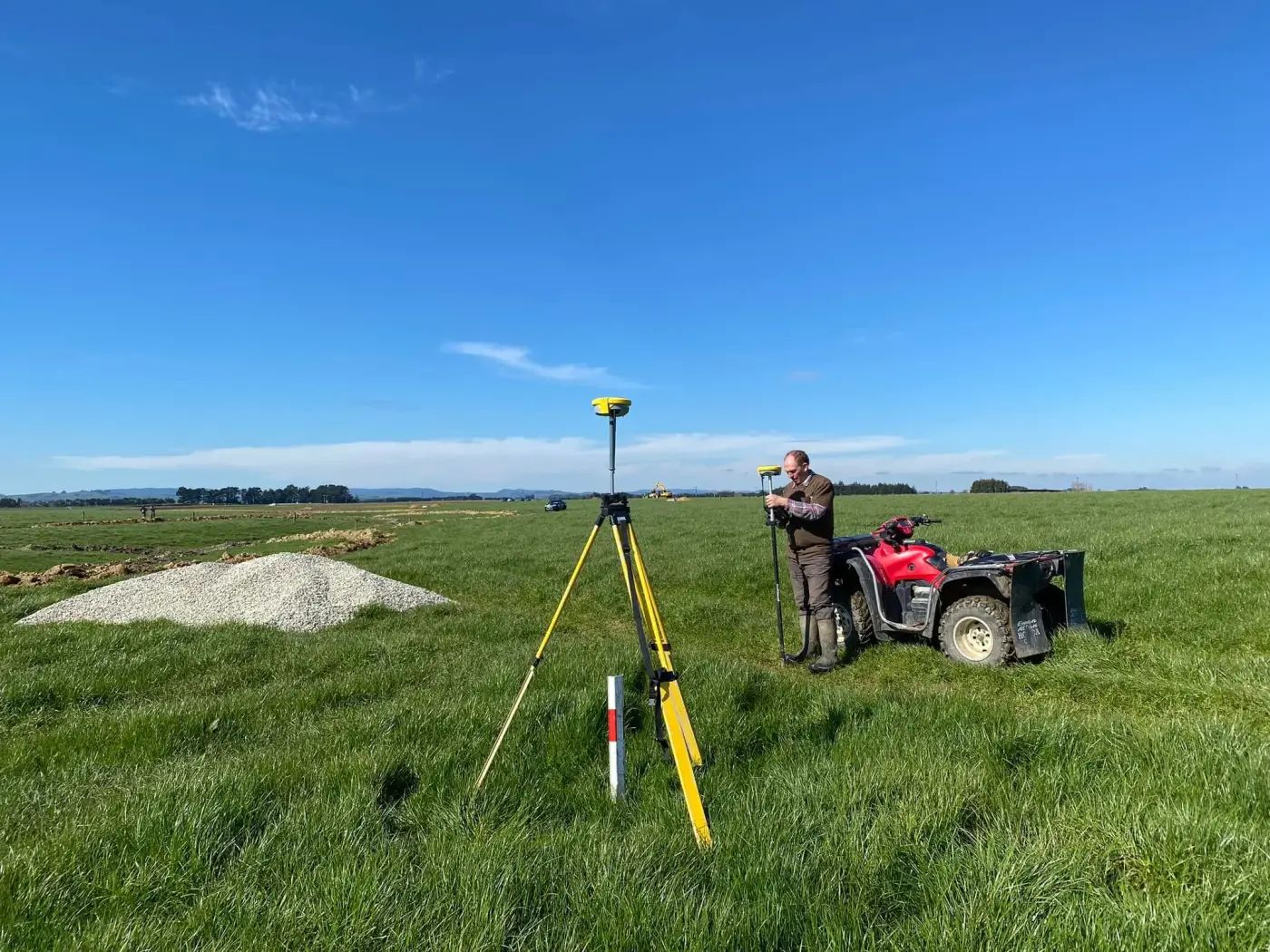
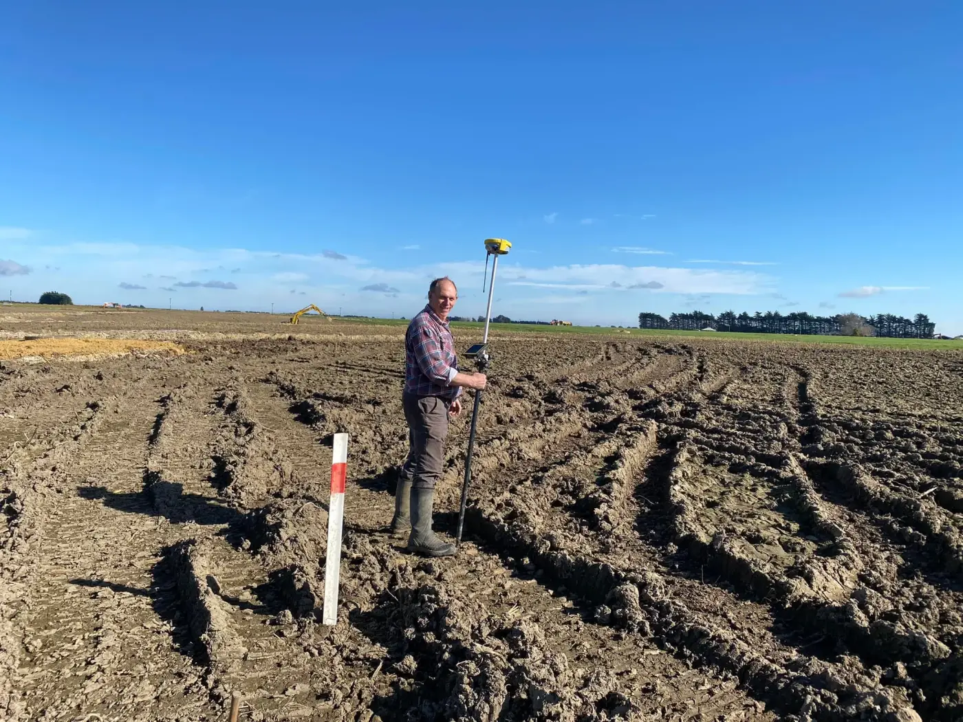
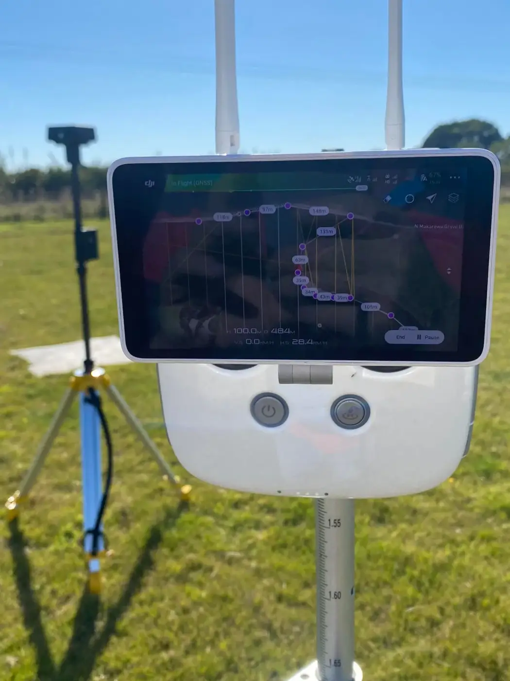
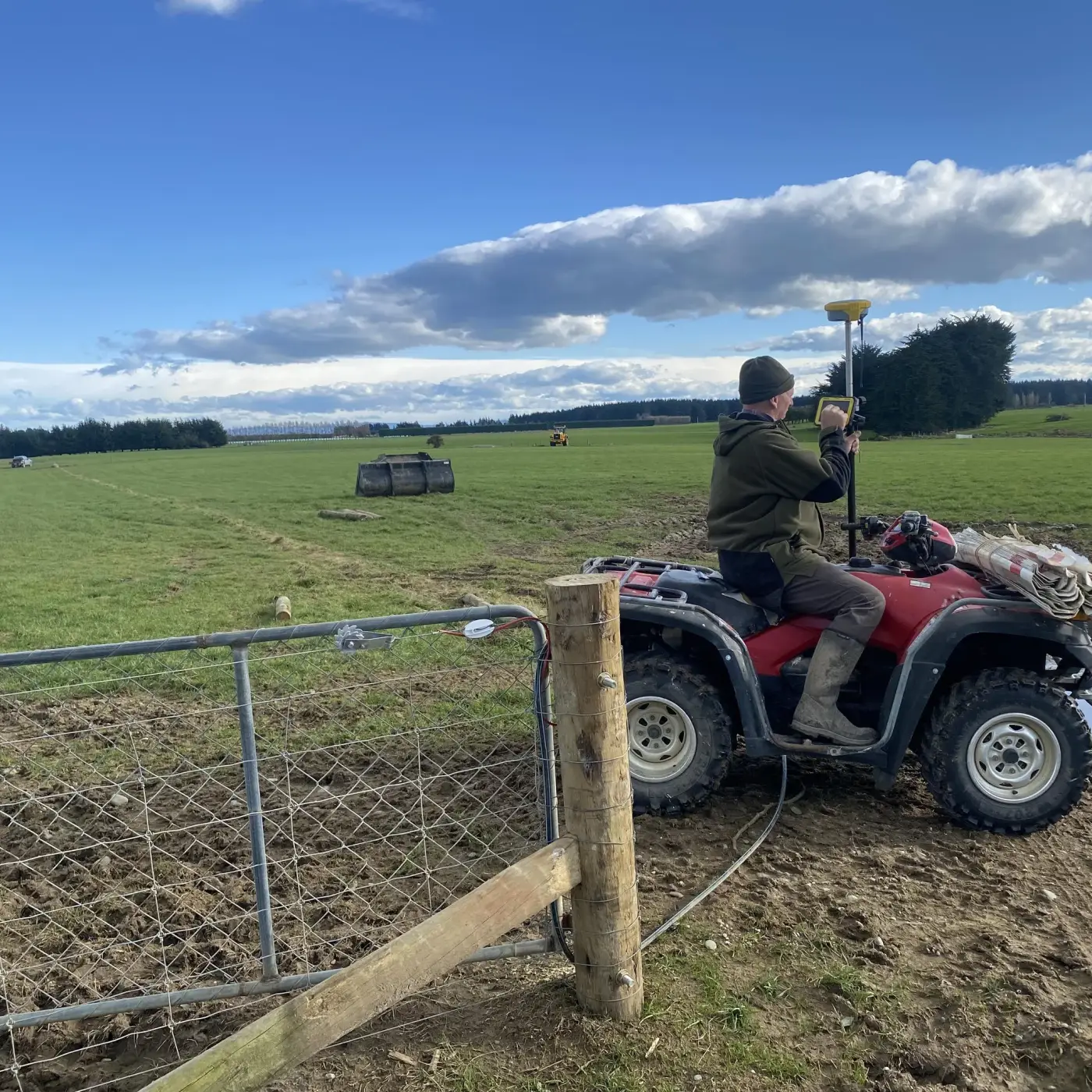
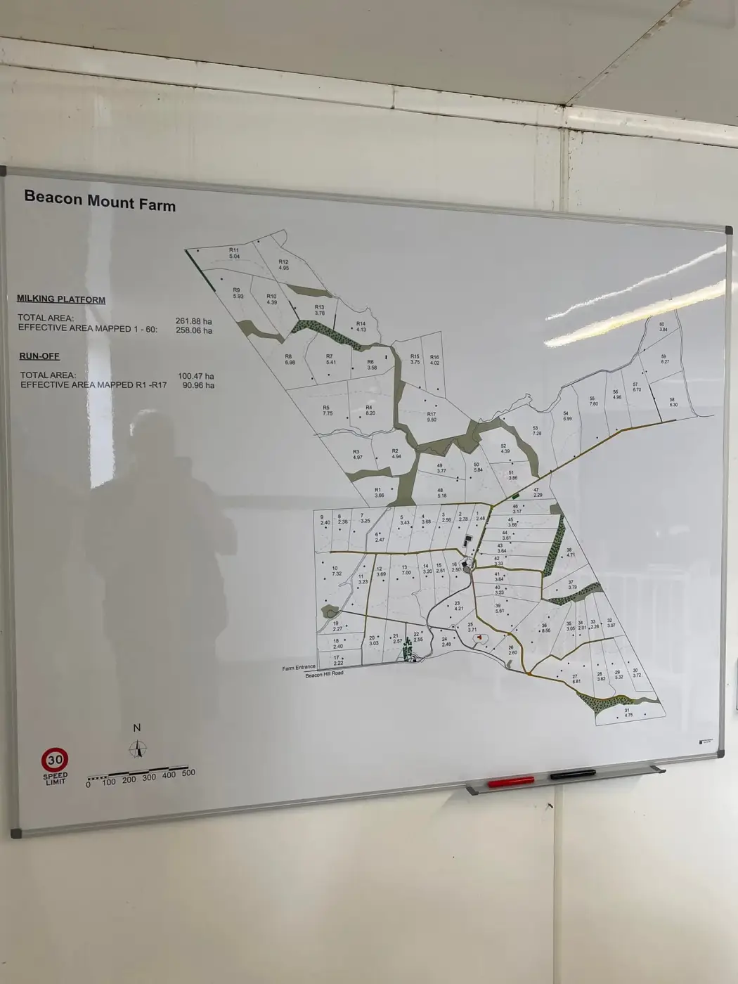
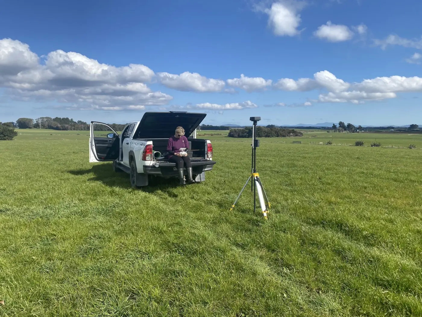
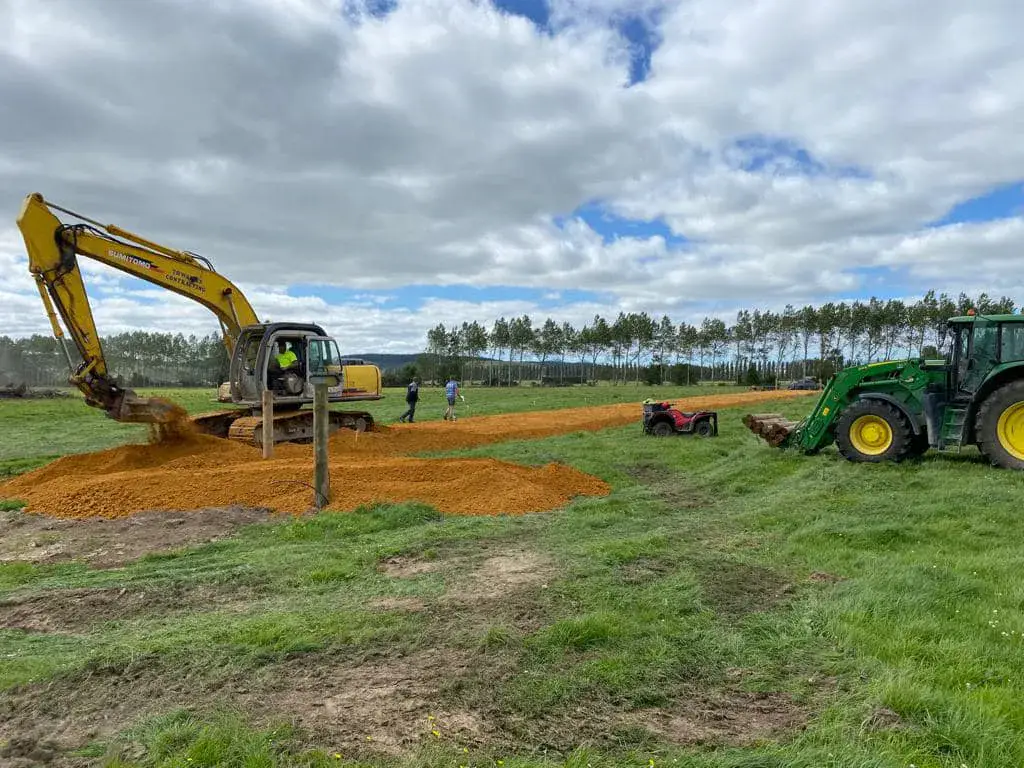
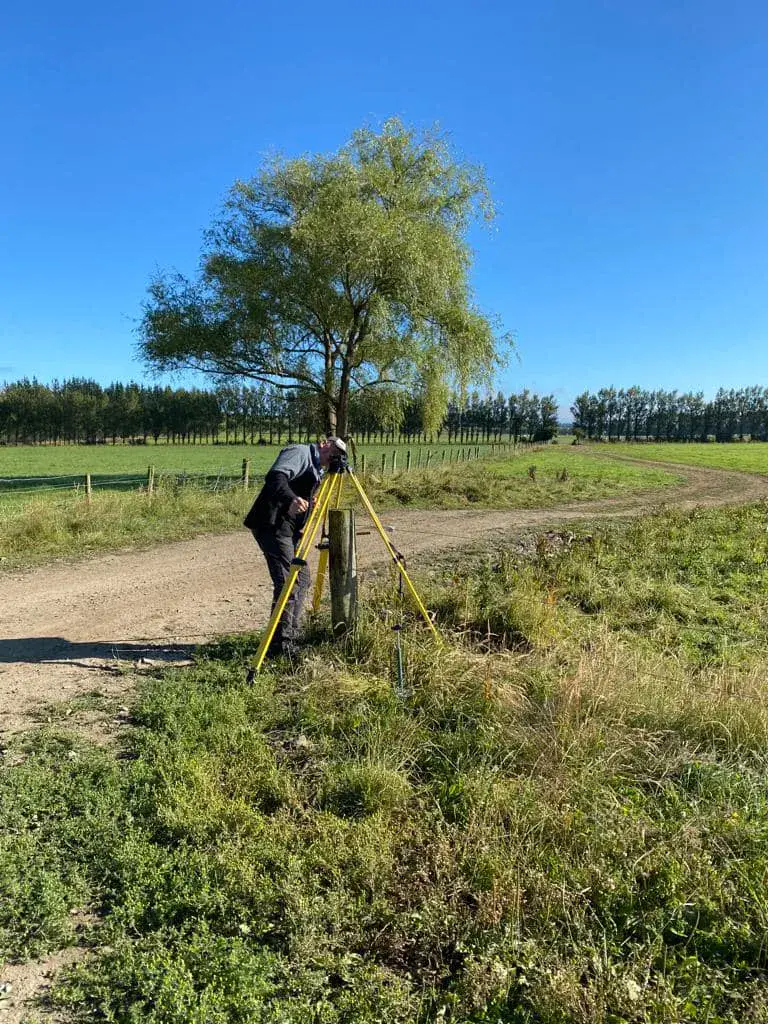
Planning farm development on paper is one thing; getting it accurate on the ground is another. Miscommunication between plans and contractors can lead to costly fencing errors, ineffective drainage, and wasted time.
Southland Farm Mapping bridges the gap. We don't just email you a file; we return to your site to stake out the exact features we mapped. This ensures your fencers, earthmovers, and drainage teams are working from precise, real-world markers, not guesswork.
No more "eyeballing" fence lines. Precise markers for every boundary.
Hand over the site to tradesmen knowing the lines are true.
Proudly serving the Southland agricultural community.
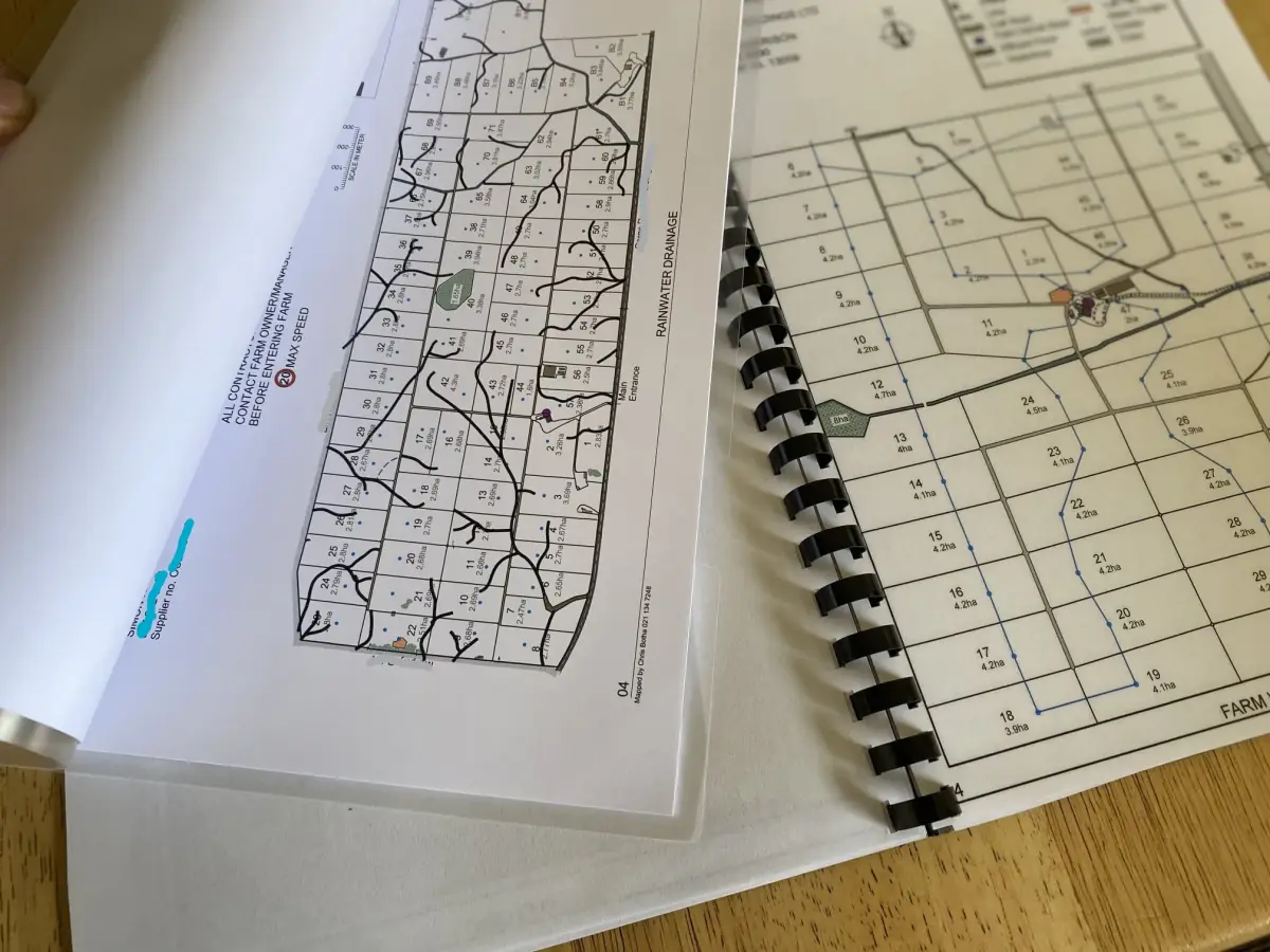
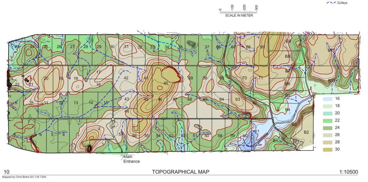
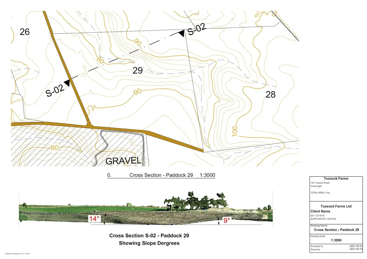
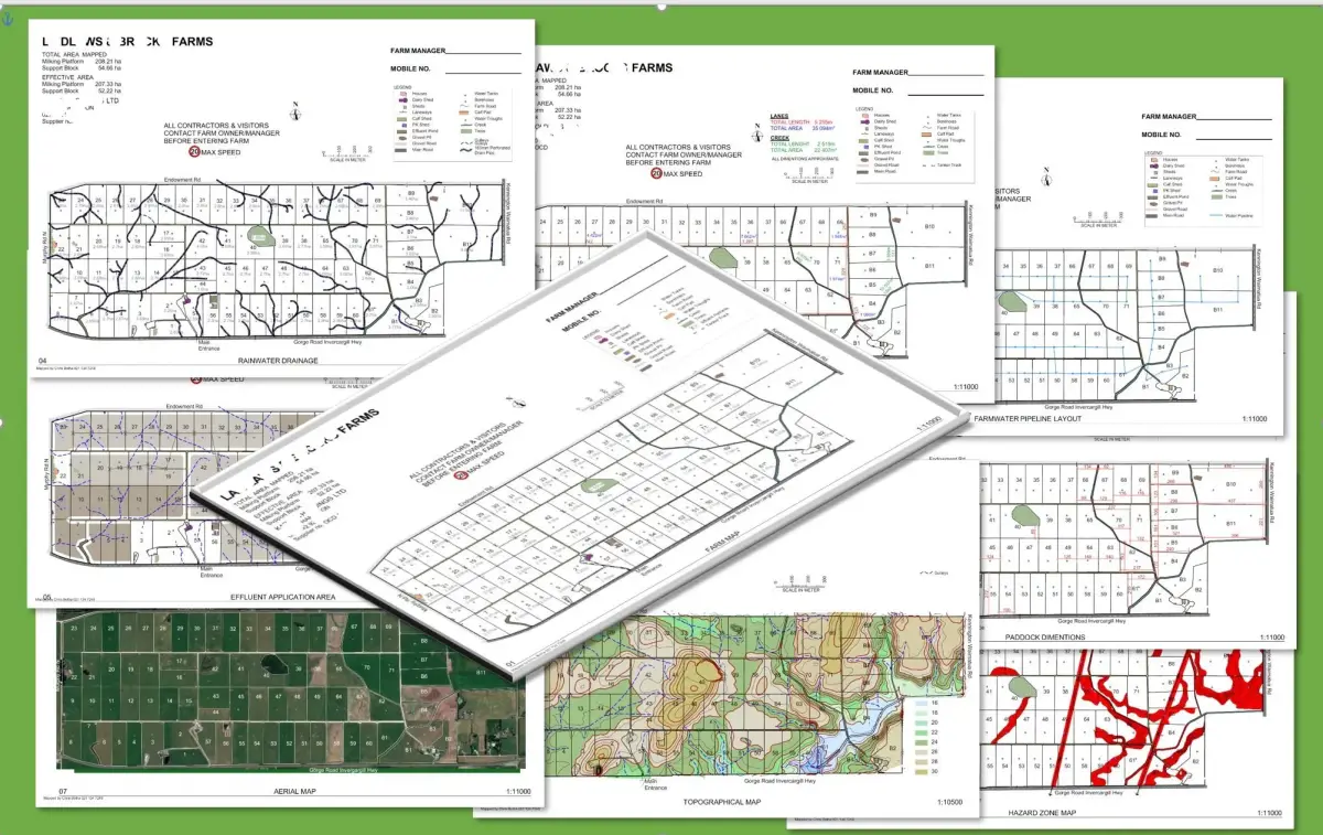
From fencing and subdivisions to drainage and earthworks, precision mapping may be the necessary step in your next farm project.
Ensure your new fence lines are straight, accurate to the boundary, and make practical use of the land.
Plot efficient routes that account for terrain, gradient, and contractor access.
Use elevation data to understand water movement before drainage work starts.
Give excavators clear boundaries and guidelines based on accurate contours.
From initial consultation to final stake-out, the process is straightforward for Southland farmers and rural operators.
Step 01
We start with a practical conversation so the mapping deliverables match your farm goals.
Step 02
High-resolution imagery and topographical data capture the property in useful detail.
Step 03
Raw survey data becomes clear mapping output for decisions and contractor handover.
Step 04
The job is not done until the approved plan is marked on the ground.